
By – Shreya Parameshwaran
Abstract
Wildlife conservation is being dramatically altered by Artificial Intelligence (AI) through automating the analysis of the numerous ecological datasets created by technology such as camera traps, drones, acoustic sensors, GPS collars, and satellite images. Machine-learning algorithms are detecting animal species, identifying potential poaching threats and monitoring changes to animal habitat faster and cheaper than existing methods, providing new solutions to combat the alarming rate at which we are losing biodiversity. This article explores three main categories of animal tracking, namely anti-poaching systems, animal/habitat monitoring, along with the presentation of the main operational mechanisms involved, highlighted by the discussion of relevant case studies as well ethical and governance challenges that are arising in the global south where there are high levels of biodiversity and limited resources.
Introduction: AI in a Biodiversity Crisis
Wildlife populations globally are declining rapidly, creating enormous pressure for conservation organizations with already limited funding, staffing, and time in the field. Existing methods of collecting this information (e.g., ground patrols, manual sorting of camera trap images, and periodic aerial plane surveys) are often too slow to track the changes/threats to an ecosystem and/or to quickly identify changes in real-time across large, remote geographic areas. AI provides a means of taking the overwhelming amount of information produced by today’s sensors and turning it into useful information so that conservationists can continually monitor animals and habitats instead of relying on occasional efforts in the field. However, the use of AI also raises issues related to techno-solutionism, inequality of access, along with increased surveillance, all of which must be addressed from a legal and/or ethical perspective.
Key Mechanisms: From Sensor Data to Decisions
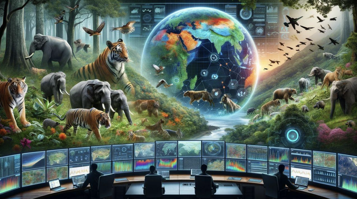
AI is designed to learn the patterns of large complex data sets and to then automate things like automating detection and classification tasks as well as prediction. Examples of AI-based pattern recognition models include convolutional neural networks (CNN) or object detection models such as YOLO which utilize both still and video images taken from camera traps, drones, and thermal cameras to identify wildlife animals, humans, and vehicles in near real-time. Additionally, AI-based pattern recognition methods are used to identify sounds of birds, bats, or gunfire through acoustic recording as well as the use of spatiotemporal pattern recognition on GPS movement and event data to predict the possibility of conflict or poaching risk. All these predictive data points are inputted into decision support software that can assist patrols in establishing patrol routes as well as alert law enforcement to possible threats through early warning systems and long-term conservation planning.
Animal monitoring using AI
AI can be utilized in animal monitoring in conjunction with bioacoustics data to monitor individual animals and entire populations, using computer vision along with Global Positioning Systems (GPS), without causing significant disturbance to the animals. Using an automatic camera trap system such as Conservation AI, species are automatically classified and, in some cases, individual animals are identified, and rare and/or endangered species are flagged. Millions of images are converted into data that can be utilized by researchers to estimate population abundance and occupancy, because of these approaches, the amount of time spent manually labelling images is greatly reduced, allowing population estimates to be updated much more regularly and in more detail across vast areas of protected land.
Drones with high-resolution or thermal cameras also allow for observing wildlife that may not be easily visible to the naked eye from the ground and can allow researchers to visually observe whales, seabirds, and large mammals in inaccessible landscapes and ocean areas using aerial photography reporting. AI can analyze GPS data that has been recorded from collared animals to determine migration routes, assess habitat use, and identify and predict emerging conflict areas as elephants migrate toward agricultural crops or predators are arriving at livestock areas. When patterns produced from AI (early-warning notifications) are given to local community members, then crops can be more effectively protected from damage and retaliatory killings can be reduced through community-based rapid response.
AI-Powered Anti-Poaching Systems
Poaching is a significant danger to biodiversity and animal species today, and many wildlife conservancy organizations are investing in AI for both monitoring and predictive patrol. Edge AI camera systems similar to TrailGuard have been designed to use embedded object recognition algorithms to detect humans, weapons, or vehicles in the area versus animal presence and send low-power communication alerts to Rangers to act on poaching before animals are harmed. The integration of thermal cameras with drones can expand coverage for poaching detection at night and in dense vegetation, where it is not possible to patrol traditionally.
Predictive analytics make anti-poaching more effective than before. The PAWS (Protection Assistant for Wildlife Security) system utilizes machine learning and game theory on past poaching incidents, terrain, as well as patrol history to create risk maps and recommend suitable patrol routes so that poachers remain off balance. By doing field trials in African and Asian reserves, it was found that unguided patrols were not as successful in locating snares and other illegal activity when guided by PAWS thus creating a more effective way of working without needing additional personnel. As PAWS has been integrated into other commonly used patrol platforms such as SMART, these capabilities can now be utilized in hundreds of protected areas if the long-term support and education provide.
AI for Habitat Monitoring and Assessing Biodiversity
AI is now being used beyond just individual species and more broadly towards habitat, land use, and biodiversity patterns. Using machine learning, models can classify land cover, detect deforestation or fragmentation, and assess wetland loss through astronomical satellite images. This information helps to determine where new areas of degradation are appearing and measure the extent of restoration efforts. These systems also exist in many systems such as Global Forest Watch and can facilitate rapid response strategies (e.g., against illegal logging) in areas under ten-year-old Planting Regeneration areas as well as in historical Peatlands.
Bioacoustic monitoring uses artificial intelligence (AI) to analyze thousands of hours of recording from either fixed sensors or flying robots (drones) to detect the calls of birds, primates, and amphibians in order to determine how many different species there are in an area and whether or not the different groups of animals use the same types of habitat. These surveys have been used in simulated tropical forests, and by using AI detection models with drone-based sound recording systems, researchers have been able to determine the general patterns of many different types of animals as they occur within the same environment. However, there may have been some rare species that were not detected due to an insufficient number of samples. The use of multiple types of data (i.e., images, sound, and live sensors) to assess the condition of ecosystems will provide a more complete assessment of the health of an ecosystem and create early indicators of disruptions to ecological balance.
Challenges, Risks, and Justice Concerns
Despite its promise, AI in conservation has intertwining challenges : data bias, lack of infrastructure, and issues of just behavior. Training datasets use disproportionately large samples from geographic areas, species, and the recording conditions of those samples; therefore, models developed with these data will not perform well once applied to new ecological and/or cultural surroundings, because of this, conservation if AI is unlikely to be effective when used in biodiverse areas in the Global South. Avoiding “AI colonialism,” whereby AI solutions continue to favor the Global North, can be done by developing locally representative datasets and involving and communities in the labelling and validation processes. and communities in the labelling and validation processes.
Limited infrastructure (Power, connectivity, and technical capacity) inhibits durable deployment of technical innovations by the lack of basic operational funding or the capacity to support advanced ICT equipment in many protected areas. In addition, there are concerns that the use of AI (artificial intelligence) for surveillance will unintentionally target local and indigenous communities raising critical questions regarding consent, privacy, and potentially the criminalization of subsistence activities where existing governance frameworks are weak. As such, rights-based conservation, free/prior/informed consent (FPIC), and community data governance should be viewed as necessary complements to technological innovation.
Conclusion
AI is a powerful “force multiplier” for wildlife conservation, improving animal tracking, antipoaching, and large-scale habitat monitoring. It turns diverse sensor data into timely intelligence so conservationists can act proactively where risks are highest, however it cannot replace tackling root drivers of biodiversity loss or the knowledge and agency of local and Indigenous communities. Realizing its potential demands sustained public investment, open and inclusive AI infrastructure, and rights-based governance that centers environmental justice.
About the Author
Shreya Parameshwaran is a law student with a strong interest in environmental justice, human dignity, and land sovereignty. Through legal research and writing, she seeks to explore how law can support communities affected by ecological conflict and challenge structures that threaten both people and the environment.
Image Source : https://bsmaenterprises.com/blog-1/f/geo-ai-in-wildlife-conservation-era-of-biodiversity-protection