
Niti Aayog’s report, Composite Water Management Index 2018 states that “India is facing the worst water crisis in its history”. With groundwater drying up everyday in India and the water crisis soaring in our country, water infrastructure has been transformed into one of the largest investment interests of the Government of India. Within these infrastructure investment projects, the River Interlinking Projects have demanded most of the funds and have become the government’s priority solution to handling India’s water crisis. The Ministry of Water Resources, NWDA has identified 14 links under the Himalayan Rivers Component and 16 links under the Peninsular River Components for inter basin transfer of water based.
BACKGROUND
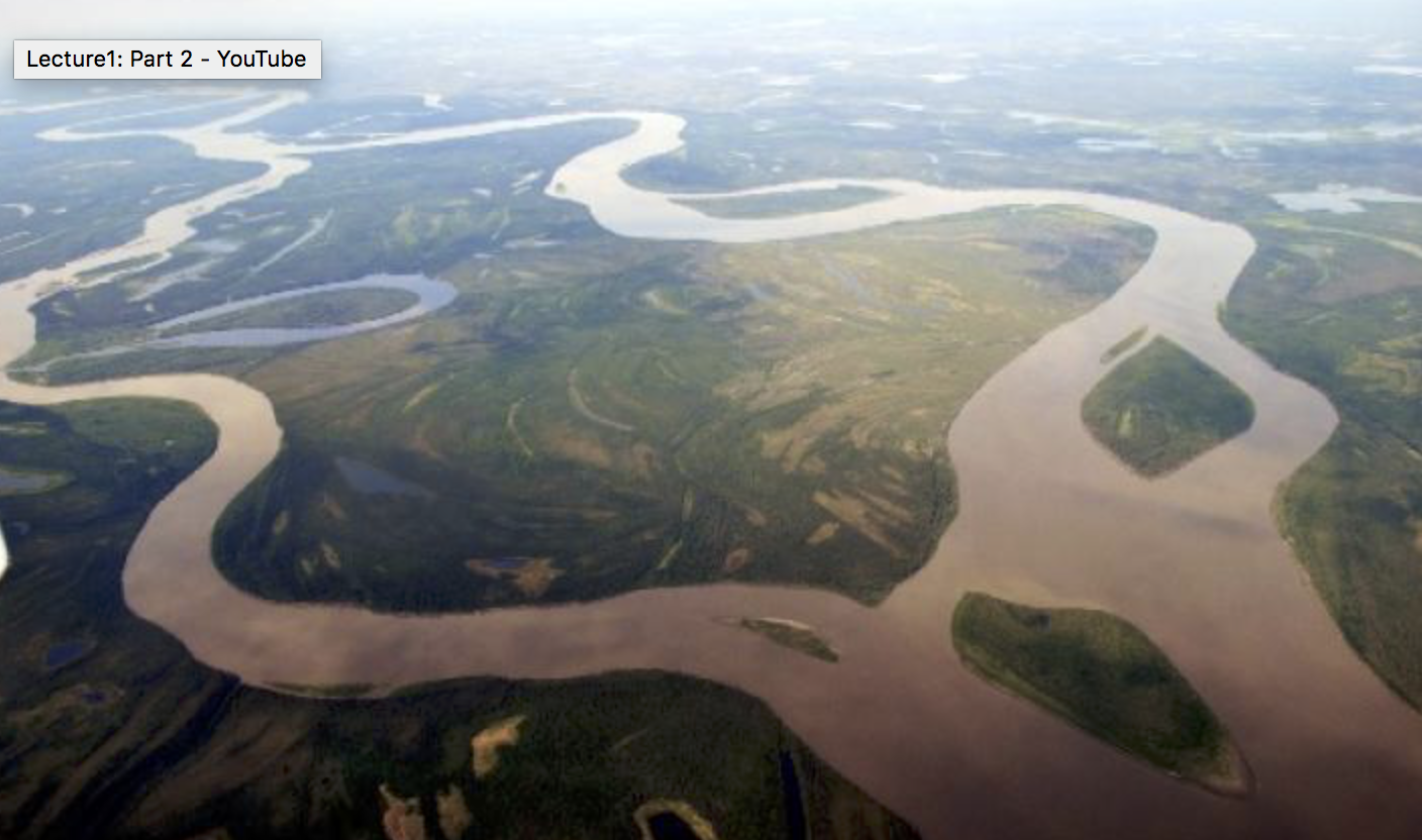
In India, the availability of water is uneven both in space and time. For the former, while the average rainfall in India is 125 cms, it soars upto 400 cms for the western coast and the North Eastern India and dips until less than 60 cms in western Rajasthan and adjoining parts of Gujarat, Haryana and Punjab. For the latter, we see that 75% of the total rainfall is concentrated from June to September, 13% from October to December and the remaining 12% for the rest of the year. This divides the country into two segments with nearly a third being drought prone and an eighth of the country flood prone. The co-existence of these features poses a potent threat, which cannot be eradicated and has to be managed.

Source – arcgis.com
The river interlinking (RI) mechanism traces its way back to 1881, when Sir Arthur Cotton proposed the National Water Grid system to create a network of rivers and canals in India to ease the transportation of goods across the country and speed up the export-import from the British colonies. This was later developed upon by Dr. K.L Rao, the then Irrigation Minister of India and modified from an inter basin water transfer to intra basin development project. The rationale behind the project is simple – to tackle India’s regional water scarcity by connecting the ‘surplus’ water basins of India to the ‘deficit’ ones. However, the proposals created by Dr. Rao and others during that time were rejected on grounds of doubtful economic stability, no flood control measures, technical deficiencies and ambitious power supply requirements.
The modern version of this water grid concept finds its detailed conceptualization in the National Perspective for Water Resources Development report 1980 released by the Ministry of Water Resources. This project is capital intensive aiming for infrastructural assets such as canals, dams and appurtenant structures for mass transfer of water over thousands of kilometers. On one hand, sections of society have welcomed it as a one-step, all-time solution to the problem of water scarcity and on the other hand, there are growing voices of dissent questioning its overshadowed disadvantages.
THE PLAN
The RI project has been divided into two components – The Himalayan component and the Peninsular Component. On completion, this project would have created 30 river links and 3000 storage structures to transfer 174 billion cubic meters of water through a canal network of about 14900 km. This image provides an overview of the network that the project aims to achieve.
- Himalayan Component – This is further divided into two sub parts will be responsible for transporting 33 cubic kilometers of water. The first, will transfer the waters from Ganga and Brahmaputra (the surplus basins) to the Mahanadi Basin (East Central India) and all the way to the Cauvery basins through the chain of rivers Godavari, Krishna and Pennar (the deficit basins). The second, will transfer water from the eastern ganga tributaries that are Kosi, Gandak and Ghagra (the surplus basins) to the western parts of Ganga and the Sabarmati river basins (the deficit basins). This network will provide irrigation to an additional area of about 22 million hectares and generate 30 million kilowatt of hydro- power. It would also contribute in substantial flood control of the Ganga- Brahmaputra Basin – which causes recurring devastating floods in India. However, since the Ganga- Brahmaputra basin extends into India’s neighbouring countries such as Bangladesh and Nepal, their consent and cooperation cannot be excluded from the scenario.
- Peninsular Component – This has four sections to it and will be responsible for transferring 141 cubic kilometers of water.
- Interlinking of Mahanadi- Godavari – Krishna -Cauvery with the vision of irrigating the drought prone areas of Maharashtra, Karnataka, Andhra Pradesh and Tamil Nadu.
- Constructing storages and interlinking of small flowing rivers in the western coast, north of Bombay and south of Tapi. This will allow for irrigation supply in the Kutch area and meet the growing water requirements of the metropolitan Mumbai.
- Interlinking Ken with Chambal and a dam on Yamuna with the plan to create irrigation supply in Indore and Ujjain in Madhya Pradesh.
- Diversion of west flowing rivers of Kerala and Karnataka to the Western Ghats.
THE ONGOING DEBATE
To summarize, the national river linking project identifies three basins, which according to them have surplus flows even after sufficing the needs of the people living near these basins, namely the Brahmaputra, the Mahanadi and the Godavari. The project aims to solve the issues that come along with this surplus in terms of recurring floods and provide the drought prone areas access to these basins. In a capsule, this network does provide solutions to India’s drought- flood- drought cycle which is hard to break through otherwise. However, critics take a stance that the Indian Government has not undertaken sufficient detailed analyses for alternatives.
Earlier this project was set to complete in 2016 but now the date has been pushed to 2050. The proposal has therefore not considered this change in time and how it would adapt accordingly, that is it is not immune to exponentially increasing external factors such as the population boom, the climate change phenomena and decreasing river flows in India.
The opposition have the following counter remarks to make for the benefits listed down by the ministry of water resources to continuously push forth for this project.
- Devastating floods and droughts are to a large extent man- made. India can improvise on its disaster management schemes and policies and approach a more sustainable infrastructure to control this.
- An estimate of 50,000 crore rupees will need to be invested to bring this project together. The finance borrowed will place India in a debt trap that will take many many years to recover from. This loss in financial independence can put the economy at risk.
- States in India have had a history of conflict especially when it comes to sharing of resources within them. Ownership of rivers has often been used to exert soft power not only within India but also by India on its neighbouring countries. Cooperation both regional and international would be a very difficult obstruction to overcome.
- The construction of large dams, canals and storage channels will cause more social disorder and displacement than promised irrigation.
CONCLUSION
On 27th February 2012, the Supreme Court directed the Centre to implement this ambitious river interlinking project in a time bound manner and even appointed a high powered committee to carry the same forward. If completed, it would be the biggest water transfer project in the world, carrying more than four times the water in China’s South to North water transfer project. Moreover, only 9 links out of the 30 proposed are independent and can be executed without working on the other links. This increases the risk bound within this project. While the proposal is at a conceptual level at the moment, regulation of teams, funds and preparations to begin the construction can be noticed. The ecological, economical and social repercussions need to be revisited and even if an alternative solution to the water scarcity issue cannot be designed, additional policies need to be reformed to complement this project.
Vanshika Mittal is a third year undergraduate student at Ashoka University pursuing Economics and Environmental Sciences.